Geolocate

Wolston CP topographic map

Click on the map to display elevation.

About this map

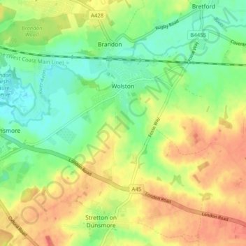
Name: Wolston CP topographic map, elevation, terrain.

Location: Wolston CP, Rugby, Warwickshire, England, United Kingdom (52.34770 -1.42142 52.38981 -1.34326)

Average elevation: 89 m

Minimum elevation: 64 m

Maximum elevation: 116 m

Other topographic maps

Click on a map to view its topography, its elevation and its terrain.

Draycote Water

United Kingdom > England > Warwickshire > Rugby > Draycote

Average elevation: 92 m

Newton

United Kingdom > England > Warwickshire > Rugby

Average elevation: 114 m

Gear up for your next adventure:

🛶Kayak Dry Bag - Waterproof storage for kayaking adventures
🧥Softshell Hiking Jacket - The perfect balance of wind protection and breathability
🏃Hydration Running Vest - Carry water and maps close to your body for speed
🥾Mountain Hiking Shoes - Shoes with superior grip for mountainous terrain
🥾Trekking Boots - Durable boots for long-distance trekking

As an Amazon Associate, this site earns from qualifying purchases at no extra cost to you.