
Herman topographic map
Interactive map
Click on the map to display elevation.
About this map
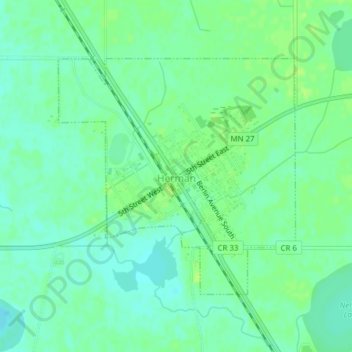
Name: Herman topographic map, elevation, terrain.
Location: Herman, Grant County, Minnesota, 56248, United States (45.79965 -96.15643 45.81774 -96.13032)
Average elevation: 328 m
Minimum elevation: 321 m
Maximum elevation: 334 m
Other topographic maps
Click on a map to view its topography, its elevation and its terrain.
Hoffman
United States > Minnesota > Grant County
Hoffman, Grant County, Minnesota, United States
Average elevation: 378 m