
Prees Green topographic map
Interactive map
Click on the map to display elevation.
About this map
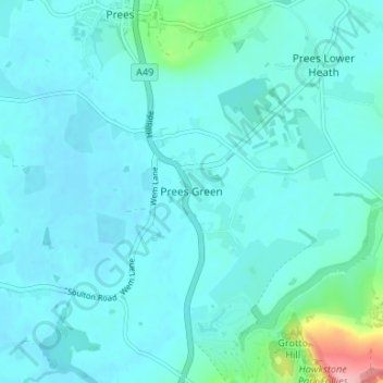
Name: Prees Green topographic map, elevation, terrain.
Average elevation: 87 m
Minimum elevation: 71 m
Maximum elevation: 209 m
Other topographic maps
Click on a map to view its topography, its elevation and its terrain.
Clun
Royaume-Uni > Angleterre > Shropshire
Clun, Shropshire, Angleterre, SY7 8JP, Royaume-Uni
Average elevation: 284 m
Snailbeach
Royaume-Uni > Angleterre > Shropshire
Snailbeach, Shropshire, Angleterre, SY5 0NX, Royaume-Uni
Average elevation: 248 m
Church Stretton
Royaume-Uni > Angleterre > Shropshire
Church Stretton, Shropshire, Angleterre, Royaume-Uni
Average elevation: 280 m