Geolocate

Hawkeye topographic map

Click on the map to display elevation.

About this map

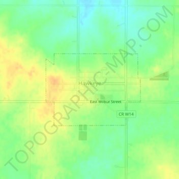
Name: Hawkeye topographic map, elevation, terrain.

Location: Hawkeye, Fayette County, Iowa, United States (42.93210 -91.96001 42.94299 -91.94051)

Average elevation: 352 m

Minimum elevation: 337 m

Maximum elevation: 367 m

Other topographic maps

Click on a map to view its topography, its elevation and its terrain.

Eldorado

United States > Iowa > Fayette County

Average elevation: 314 m

Gear up for your next adventure:

🪑Insulated Seat Pad - Protect your seat from cold rocks and wet logs
🧰Emergency Multi-Tool - Compact multi-tool for outdoor survival
🔭Outdoor Binoculars - Lightweight binoculars for birdwatching and hiking
Camping Tent - Weather-resistant tents suitable for 2 to 6 people
💧Hydration Pack - Hands-free hydration system for long hikes

As an Amazon Associate, this site earns from qualifying purchases at no extra cost to you.