Geolocate

Garbeta topographic map

Click on the map to display elevation.

About this map

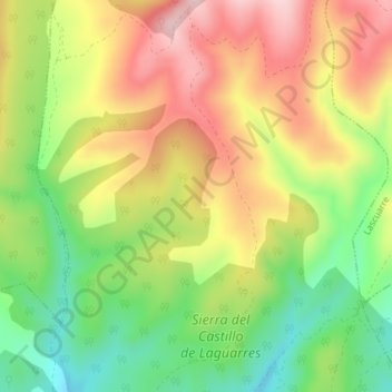
Name: Garbeta topographic map, elevation, terrain.

Location: Garbeta, Benabarre, La Ribagorza, Huesca, Aragon, 22580, Spain (42.14161 0.48995 42.16161 0.50995)

Average elevation: 963 m

Minimum elevation: 836 m

Maximum elevation: 1,093 m

Gear up for your next adventure:

🥾Lightweight Hiking Shoes - Comfortable shoes for day hikes
🐕Hiking Dog Pack - Let your canine companion carry their own water and food
🧥Waterproof Jacket - Lightweight rain jackets for hiking and outdoor activities
🪜Heavy Duty Carabiners - Multi-use clips for securing gear to your backpack
🧥Ultralight Puffy Jacket - Maximum warmth that packs down to the size of an orange

As an Amazon Associate, this site earns from qualifying purchases at no extra cost to you.