Geolocate

Merritt Township topographic map

Click on the map to display elevation.

About this map
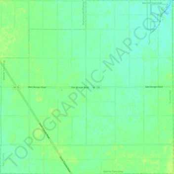
Name: Merritt Township topographic map, elevation, terrain.

Location: Merritt Township, Bay County, Michigan, 48747, United States (43.47862 -83.81768 43.56549 -83.69853)

Average elevation: 180 m

Minimum elevation: 174 m

Maximum elevation: 187 m

Other topographic maps

Click on a map to view its topography, its elevation and its terrain.

Bentley

United States > Michigan > Bay County

Average elevation: 227 m

Gear up for your next adventure:

🧥Waterproof Pants - Keep dry during rainy hiking conditions
🍽️Titanium Camping Spork - Ultralight and indestructible eating utensil
🔋Lithium AA Batteries - Long-lasting power that performs in extreme cold
🧦Hiking Socks - Moisture-wicking and comfortable socks for long hikes
⛺Tent Footprint - Protect tent floor and increase durability

As an Amazon Associate, this site earns from qualifying purchases at no extra cost to you.