Geolocate

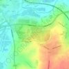
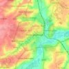
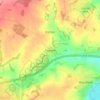
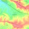
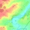
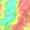
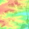
Denford topographic map

Click on the map to display elevation.

About this map

Name: Denford topographic map, elevation, terrain.

Location: Denford, North Northamptonshire, England, United Kingdom (52.36684 -0.57001 52.38933 -0.48852)

Average elevation: 59 m

Minimum elevation: 23 m

Maximum elevation: 82 m

Other topographic maps

Click on a map to view its topography, its elevation and its terrain.
Slade

United Kingdom > England > North Northamptonshire > Orton

Average elevation: 123 m

Corby

United Kingdom > England > North Northamptonshire

Average elevation: 103 m

Corby

United Kingdom > England > North Northamptonshire

Average elevation: 103 m

Corby

United Kingdom > England > North Northamptonshire

Average elevation: 103 m

Corby

United Kingdom > England > North Northamptonshire

Average elevation: 103 m

Gear up for your next adventure:

🦟Insect Repellent - Keep mosquitoes and black flies away in wooded areas
🧤Rechargeable Heated Gloves - Extreme warmth for Canadian winter expeditions
🥾Hiking Leggings - Comfortable leggings for outdoor activities
⛺Camping Groundsheet - Protect your tent from moisture and dirt
🪑Insulated Seat Pad - Protect your seat from cold rocks and wet logs

As an Amazon Associate, this site earns from qualifying purchases at no extra cost to you.