
Shalford topographic map
Interactive map
Click on the map to display elevation.
About this map
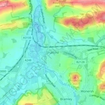
Name: Shalford topographic map, elevation, terrain.
Location: Shalford, Surrey, South East, England, GU4 8HB, United Kingdom (51.19225 -0.58541 51.23225 -0.54541)
Average elevation: 58 m
Minimum elevation: 28 m
Maximum elevation: 139 m