
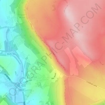
Curbar Edge topographic map
Click on the map to display elevation.
About this map
Name: Curbar Edge topographic map, elevation, terrain.
Average elevation: 251 m
Minimum elevation: 115 m
Maximum elevation: 366 m
Other topographic maps
Click on a map to view its topography, its elevation and its terrain.
Calver Sough
United Kingdom > England > Derbyshire > Derbyshire Dales > Calver Sough
Average elevation: 218 m