Geolocate

Laguna 69 topographic map

Click on the map to display elevation.

About this map

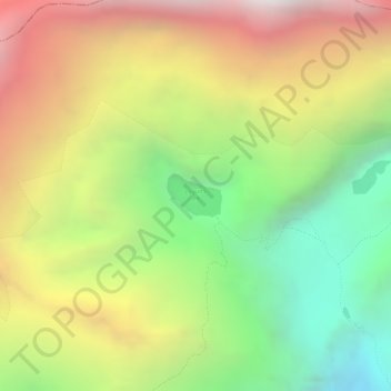
Name: Laguna 69 topographic map, elevation, terrain.

Location: Laguna 69, Yungay, Áncash, Perú (-9.01191 -77.61406 -9.00889 -77.61018)

Average elevation: 4,891 m

Minimum elevation: 4,123 m

Maximum elevation: 5,674 m

Other topographic maps

Click on a map to view its topography, its elevation and its terrain.

Musho

Perú > Áncash > Yungay

Average elevation: 3,083 m

Patapata

Perú > Áncash > Yungay

Average elevation: 3,005 m

Runtu

Perú > Áncash > Yungay

Average elevation: 2,689 m

Huandoy

Perú > Áncash > Yungay

Average elevation: 5,542 m

Gear up for your next adventure:

🚲Heavy Duty Bike Lock - Secure your bike at the trailhead or during stops
🥾Lightweight Hiking Boots - Boots for comfort and mobility on long hikes
🥤Collapsible Travel Cup - Saves space and weight in your mess kit
🥾Trekking Poles - Adjustable trekking poles to reduce knee stress and improve stability
🧦Outdoor Socks - Durable socks designed for hiking and outdoor sports

As an Amazon Associate, this site earns from qualifying purchases at no extra cost to you.