
Thank you for supporting this site ❤️
Make a donation
Make a donation
Gear up for your next adventure:
As an Amazon Associate, this site earns from qualifying purchases at no extra cost to you.
Millet topographic map
Click on the map to display elevation.
Thank you for supporting this site ❤️
Make a donation
Make a donation
Gear up for your next adventure:
As an Amazon Associate, this site earns from qualifying purchases at no extra cost to you.
About this map
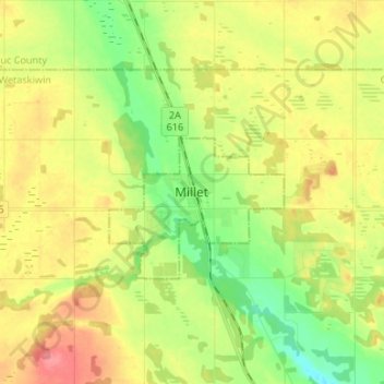
Name: Millet topographic map, elevation, terrain.
Location: Millet, Town of Millet, Alberta, T0C 1Z0, Canada (53.05410 -113.51193 53.13410 -113.43193)
Average elevation: 765 m
Minimum elevation: 732 m
Maximum elevation: 803 m
Town of Millet trails, hiking, mountain biking, running and outdoor activities
Thank you for supporting this site ❤️
Make a donation
Make a donation
Gear up for your next adventure:
As an Amazon Associate, this site earns from qualifying purchases at no extra cost to you.