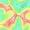
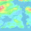
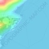
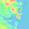
Queer Island topographic map
Click on the map to display elevation.
About this map

Name: Queer Island topographic map, elevation, terrain.
Location: Queer Island, Labrador, Terre-Neuve et Labrador, Canada (53.39409 -55.77194 53.39999 -55.75992)
Average elevation: 5 m
Minimum elevation: 0 m
Maximum elevation: 80 m
Other topographic maps
Click on a map to view its topography, its elevation and its terrain.