Geolocate

Watford topographic map

Click on the map to display elevation.

About this map

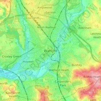
Name: Watford topographic map, elevation, terrain.

Location: Watford, Hertfordshire, East of England, England, WD17 2DN, United Kingdom (51.61539 -0.43574 51.69539 -0.35574)

Average elevation: 83 m

Minimum elevation: 43 m

Maximum elevation: 158 m

Gear up for your next adventure:

🥾Mountain Trail Shoes - High-traction shoes for mountain trails
🥾Waterproof Hiking Shoes - Durable shoes for wet and rugged trails
🕶️Polarized Sunglasses - Protect your eyes with durable polarized lenses
🧭GPS Outdoor Watch - Smart watch for navigation and fitness tracking in nature
🧢Outdoor Visor - Breathable visor for sunny hikes

As an Amazon Associate, this site earns from qualifying purchases at no extra cost to you.