Geolocate

Khumbe topographic map

Click on the map to display elevation.

About this map
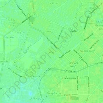
Name: Khumbe topographic map, elevation, terrain.

Location: Khumbe, Model Town Tehsil, Lahore District, Lahore Division, Punjab, 53701, Pakistan (31.41662 74.23368 31.45662 74.27368)

Average elevation: 209 m

Minimum elevation: 202 m

Maximum elevation: 212 m

Other topographic maps

Click on a map to view its topography, its elevation and its terrain.

Race Course Park

Pakistan > Punjab > Lahore District > Lahore

Average elevation: 216 m

Gear up for your next adventure:

🧣Evaporative Cooling Towel - Beat the heat during intense summer climbs
🧴Outdoor Sunscreen - High SPF protection for high-altitude UV exposure
🧥Insulated Jacket - Keep warm in cold outdoor conditions
💧Hydration Pack - Hands-free hydration system for long hikes
🔋Solar Power Bank - Keep your GPS and devices charged during long outdoor trips

As an Amazon Associate, this site earns from qualifying purchases at no extra cost to you.