
Quarry Lake topographic map
Click on the map to display elevation.
About this map
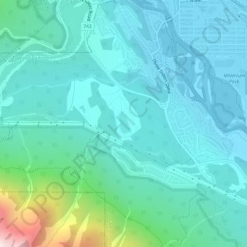
Name: Quarry Lake topographic map, elevation, terrain.
Location: Quarry Lake, Canmore, Town of Canmore, Alberta, Canada (51.07365 -115.37390 51.07589 -115.37175)
Average elevation: 1,450 m
Minimum elevation: 1,306 m
Maximum elevation: 2,193 m
Town of Canmore trails, hiking, mountain biking, running and outdoor activities
Other topographic maps
Click on a map to view its topography, its elevation and its terrain.
Bow Valley Wildland Provincial Park
Canada > Alberta > Town of Canmore > Canmore
Average elevation: 1,844 m