
Lac Croche topographic map
Interactive map
Click on the map to display elevation.
About this map
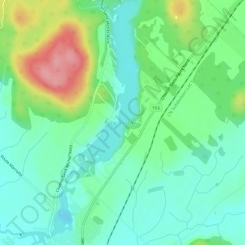
Name: Lac Croche topographic map, elevation, terrain.
Average elevation: 178 m
Minimum elevation: 145 m
Maximum elevation: 251 m
Other topographic maps
Click on a map to view its topography, its elevation and its terrain.
Lac du Jésuite
Canada > Québec > Sainte-Thècle
Lac du Jésuite, Chemin Joseph-Saint-Amant, Sainte-Thècle, Mékinac, Mauricie, Québec, Canada
Average elevation: 288 m