Sabin topographic map
Click on the map to display elevation.
Sabin
Sabin is mostly south under U.S. Route 52 and the shortline railway owned by Otter Tail Valley Railroad Company that runs parallel to Route 52. According to the United States Census Bureau, the city of Sabin has an area of 0.35 square miles (0.91 km2), all land. The elevation is approximately 929 feet.
About this map
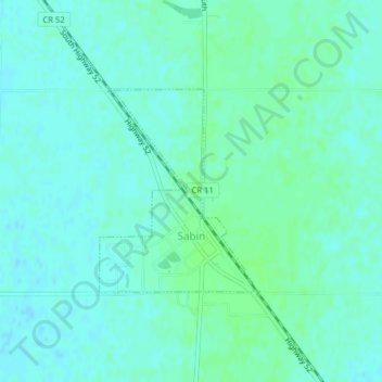
Name: Sabin topographic map, elevation, terrain.
Location: Sabin, Clay County, Minnesota, United States (46.77563 -96.66266 46.79006 -96.64677)
Average elevation: 282 m
Minimum elevation: 278 m
Maximum elevation: 285 m
Other topographic maps
Click on a map to view its topography, its elevation and its terrain.
confluence of Red River of the North and Buffalo River
United States > Minnesota > Clay County
Average elevation: 268 m