Geolocate

Moorhead topographic map

Click on the map to display elevation.

About this map

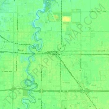
Name: Moorhead topographic map, elevation, terrain.

Location: Moorhead, Clay County, Minnesota, 56563, United States (46.83391 -96.79387 46.91391 -96.71387)

Average elevation: 277 m

Minimum elevation: 268 m

Maximum elevation: 286 m

Gear up for your next adventure:

🔥Camping Stove - Portable stoves to cook outdoors with ease
🚲MTB Frame Bag - Carry tools and maps directly on your bicycle frame
🚲Heavy Duty Bike Lock - Secure your bike at the trailhead or during stops
🔦UV Flashlight - Detect minerals or specific insects in the dark
💧Filtered Water Bottle - Safe drinking water on the go

As an Amazon Associate, this site earns from qualifying purchases at no extra cost to you.