
Make a donation
Gear up for your next adventure:
As an Amazon Associate, this site earns from qualifying purchases at no extra cost to you.
Little Canada topographic map
Click on the map to display elevation.
Make a donation
Gear up for your next adventure:
As an Amazon Associate, this site earns from qualifying purchases at no extra cost to you.
About this map
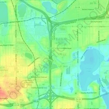
Name: Little Canada topographic map, elevation, terrain.
Location: Little Canada, Ramsey County, Minnesota, United States (45.00624 -93.10629 45.04316 -93.05607)
Average elevation: 277 m
Minimum elevation: 259 m
Maximum elevation: 303 m
Make a donation
Gear up for your next adventure:
As an Amazon Associate, this site earns from qualifying purchases at no extra cost to you.
Other topographic maps
Click on a map to view its topography, its elevation and its terrain.
Ford Dam Scenic Overlook
United States > Minnesota > Ramsey County > Saint Paul
Average elevation: 251 m
Make a donation
Gear up for your next adventure:
As an Amazon Associate, this site earns from qualifying purchases at no extra cost to you.