Geolocate

Sullia topographic map

Click on the map to display elevation.

About this map

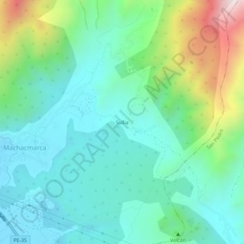
Name: Sullia topographic map, elevation, terrain.

Location: Sullia, Tinta, Province of Canchis, Cusco, Peru (-14.16714 -71.38542 -14.12714 -71.34542)

Average elevation: 3,693 m

Minimum elevation: 3,479 m

Maximum elevation: 4,328 m

Gear up for your next adventure:

🦶Anti-Blister Balm - Prevents friction and hotspots during long ascents
🔪Outdoor Multitool - Versatile tool for repairs and food prep in the wild
🚲Handlebar Phone Mount - View topographic-map.com live while cycling
🛶Canoe Life Vest - Safety vest for water sports
🥾Trail Running Shoes - Lightweight and durable shoes for trail running

As an Amazon Associate, this site earns from qualifying purchases at no extra cost to you.