
Cerrione topographic map
Click on the map to display elevation.
About this map
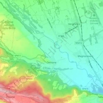
Name: Cerrione topographic map, elevation, terrain.
Location: Cerrione, Biella, Piedmont, 13882, Italy (45.44603 8.03107 45.50284 8.11213)
Average elevation: 299 m
Minimum elevation: 221 m
Maximum elevation: 494 m
Other topographic maps
Click on a map to view its topography, its elevation and its terrain.