Geolocate

Mucengo topographic map

Click on the map to display elevation.

About this map

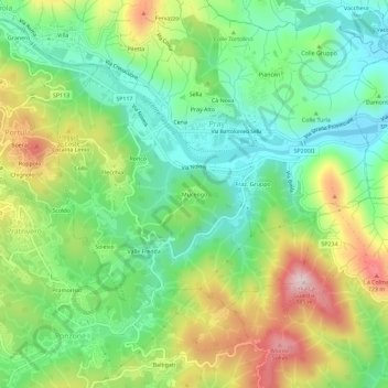
Name: Mucengo topographic map, elevation, terrain.

Location: Mucengo, Pray, Biella, Piedmont, 13867, Italy (45.64889 8.18544 45.68889 8.22544)

Average elevation: 528 m

Minimum elevation: 389 m

Maximum elevation: 761 m

Gear up for your next adventure:

🥾Hiking Leggings - Comfortable leggings for outdoor activities
👟Sport Hiking Sandals - Breathable footwear for water crossings and camp rest
🏃Hydration Running Vest - Carry water and maps close to your body for speed
🧥Waterproof Jacket - Lightweight rain jackets for hiking and outdoor activities
🔪Outdoor Multitool - Versatile tool for repairs and food prep in the wild

As an Amazon Associate, this site earns from qualifying purchases at no extra cost to you.