Geolocate

Elm topographic map

Click on the map to display elevation.

About this map

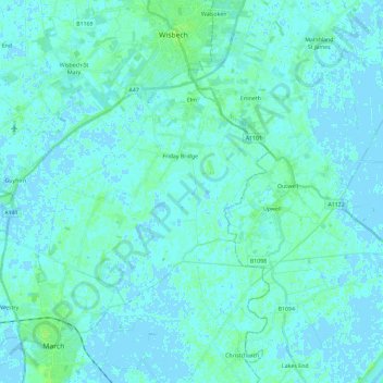
Name: Elm topographic map, elevation, terrain.

Location: Elm, Fenland District, Cambridgeshire, Cambridgeshire and Peterborough, England, United Kingdom (52.56619 -0.01273 52.64862 0.21928)

Average elevation: 2 m

Minimum elevation: -4 m

Maximum elevation: 9 m

Other topographic maps

Click on a map to view its topography, its elevation and its terrain.

Gear up for your next adventure:

🧴Insect Repellent - Protect yourself from bugs during outdoor adventures
🥾Waterproof Trail Shoes - Shoes designed to handle wet terrain
🥽Outdoor Goggles - Protective eyewear for outdoor activities
🧊Insulated Water Bottle - Keeps drinks cold in summer and prevents freezing in winter
🪑Insulated Seat Pad - Protect your seat from cold rocks and wet logs

As an Amazon Associate, this site earns from qualifying purchases at no extra cost to you.