Geolocate

Hands topographic map

Click on the map to display elevation.

About this map

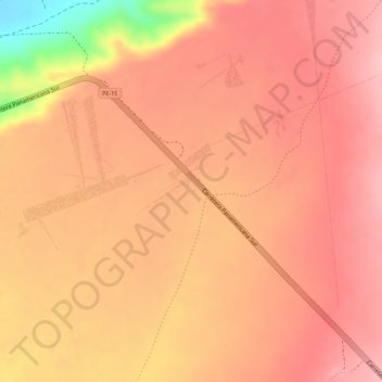
Name: Hands topographic map, elevation, terrain.

Location: Hands, El Ingenio, Province of Nasca, Ica, Peru (-14.69474 -75.11416 -14.69431 -75.11374)

Average elevation: 471 m

Minimum elevation: 349 m

Maximum elevation: 509 m

Other topographic maps

Click on a map to view its topography, its elevation and its terrain.

Canaca

Peru > Ica > El Ingenio

Average elevation: 698 m

Dog

Peru > Ica > El Ingenio

Average elevation: 459 m

Gear up for your next adventure:

Camping Groundsheet - Protect your tent from moisture and dirt
🧣Evaporative Cooling Towel - Beat the heat during intense summer climbs
🧭GPS Tracker - Track your location in remote areas safely
🥾Lightweight Hiking Shoes - Comfortable shoes for day hikes
🛏️Sleeping Bag - Warm and compact sleeping bags for outdoor camping

As an Amazon Associate, this site earns from qualifying purchases at no extra cost to you.