
Ashland topographic map
Click on the map to display elevation.
About this map
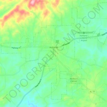
Name: Ashland topographic map, elevation, terrain.
Location: Ashland, Clay County, Alabama, United States (33.23632 -85.88124 33.30201 -85.78924)
Average elevation: 333 m
Minimum elevation: 277 m
Maximum elevation: 469 m
Other topographic maps
Click on a map to view its topography, its elevation and its terrain.