Geolocate

East Mill topographic map

Click on the map to display elevation.

About this map

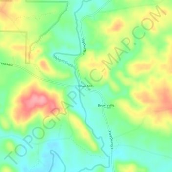
Name: East Mill topographic map, elevation, terrain.

Location: East Mill, Clay County, Alabama, 35072, United States (33.11040 -86.07275 33.15040 -86.03275)

Average elevation: 256 m

Minimum elevation: 215 m

Maximum elevation: 316 m

Gear up for your next adventure:

🛌Down Sleeping Bag - Superior warmth-to-weight ratio for cold nights
🥫Freeze-Dried Meals - Lightweight, high-calorie nutrition for multi-day treks
🧦Hiking Socks - Moisture-wicking and comfortable socks for long hikes
Camping Essentials - All-in-one gear for a comfortable camping trip
🧥Softshell Hiking Jacket - The perfect balance of wind protection and breathability

As an Amazon Associate, this site earns from qualifying purchases at no extra cost to you.