Geolocate

Elgin topographic map

Click on the map to display elevation.

About this map
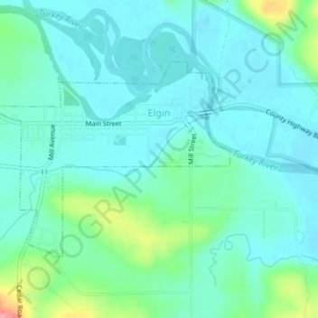
Name: Elgin topographic map, elevation, terrain.

Location: Elgin, Fayette County, Iowa, United States (42.94525 -91.64913 42.96179 -91.62153)

Average elevation: 261 m

Minimum elevation: 241 m

Maximum elevation: 335 m

Other topographic maps

Click on a map to view its topography, its elevation and its terrain.

Eldorado

United States > Iowa > Fayette County

Average elevation: 314 m

Gear up for your next adventure:

💡Portable Camping Lamp - Rechargeable lamp for campsite lighting
🚲Handlebar Phone Mount - View topographic-map.com live while cycling
🧣Evaporative Cooling Towel - Beat the heat during intense summer climbs
🧭GPS Outdoor Watch - Smart watch for navigation and fitness tracking in nature
❄️Traction Ice Cleats - Slip-on spikes for icy trails and winter hiking

As an Amazon Associate, this site earns from qualifying purchases at no extra cost to you.