Geolocate

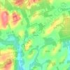
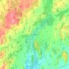
Hamilton Township topographic map

Click on the map to display elevation.

About this map
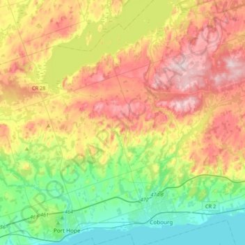
Name: Hamilton Township topographic map, elevation, terrain.

Location: Hamilton Township, Northumberland County, Central Ontario, Ontario, Canada (43.93750 -78.34658 44.17248 -78.07972)

Average elevation: 192 m

Minimum elevation: 70 m

Maximum elevation: 355 m

Northumberland County trails, hiking, mountain biking, running and outdoor activities

Other topographic maps

Click on a map to view its topography, its elevation and its terrain.
Alderville

Canada > Ontario > Northumberland County

Average elevation: 259 m

Morganston

Canada > Ontario > Northumberland County > Cramahe

Average elevation: 169 m

Warkworth

Canada > Ontario > Northumberland County > Trent Hills

Average elevation: 164 m

Colborne

Canada > Ontario > Northumberland County > Cramahe

Average elevation: 114 m

Zion

Canada > Ontario > Northumberland County > Port Hope

Average elevation: 182 m

Hastings

Canada > Ontario > Northumberland County > Trent Hills

Average elevation: 207 m

Garden Hill

Canada > Ontario > Northumberland County > Port Hope

Average elevation: 198 m

Percy Boom

Canada > Ontario > Northumberland County > Trent Hills

Average elevation: 127 m

Castleton

Canada > Ontario > Northumberland County > Cramahe

Average elevation: 200 m

Colborne

Canada > Ontario > Northumberland County > Cramahe

Average elevation: 114 m

Gear up for your next adventure:

🎒Fully Waterproof Backpack - Total protection for photography gear and electronics
🥾Waterproof Hiking Shoes - Durable shoes for wet and rugged trails
🧴Waterproofing Spray - Restore the DWR coating on jackets and tents
🧢Sun Hat - Wide-brim hat for sun protection
🥘Camping Cookware Set - Compact nesting pots and pans for trail cooking

As an Amazon Associate, this site earns from qualifying purchases at no extra cost to you.