
Nether Heyford topographic map
Click on the map to display elevation.
About this map
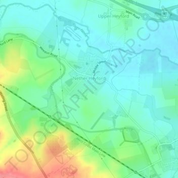
Name: Nether Heyford topographic map, elevation, terrain.
Location: Nether Heyford, West Northamptonshire, England, United Kingdom (52.20554 -1.06605 52.23206 -1.02156)
Average elevation: 91 m
Minimum elevation: 69 m
Maximum elevation: 146 m
Other topographic maps
Click on a map to view its topography, its elevation and its terrain.
Lower Thorpe
United Kingdom > England > West Northamptonshire > Thorpe Mandeville
Average elevation: 154 m
Ravensthorpe Reservoir
United Kingdom > England > West Northamptonshire > Coton
Average elevation: 131 m