Geolocate

Wickham topographic map

Click on the map to display elevation.

About this map

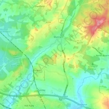
Name: Wickham topographic map, elevation, terrain.

Location: Wickham, Winchester, Hampshire, England, United Kingdom (50.86060 -1.23819 50.91925 -1.15406)

Average elevation: 36 m

Minimum elevation: 3 m

Maximum elevation: 101 m

Gear up for your next adventure:

🧥Fleece Jacket - Warm and lightweight jacket for layering
💧Filtered Water Bottle - Safe drinking water on the go
🧊Portable Cooler - Keep food and drinks cold during outdoor adventures
🍽️Titanium Camping Spork - Ultralight and indestructible eating utensil
🛌Insulated Sleeping Pad - Critical thermal barrier between you and the cold ground

As an Amazon Associate, this site earns from qualifying purchases at no extra cost to you.