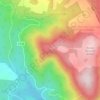
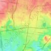
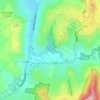
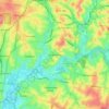
Vermont South topographic map
Click on the map to display elevation.
Vermont South
In 1966 the Metropolitan & Melbourne Board of Works (MMBW) put forth a plan to construct numerous "package" sewage treatment plants in the valleys of Dandenong Creek and its tributaries. The project aimed to provide adequate sewerage to the catchment before the Dandenong Valley Trunk sewer (DVT) could supersede the purification works. One of these facilities was to be established in Vermont South aiming to cater to the increasing population in the area. The proposal aligned with a surge in developer enthusiasm attributed to significant population growth in adjacent suburbs.Previously, Vermont South had primarily depended on septic systems to handle it's wastewater. A topographical restraint precluded the area from being served by The Board's existing gravitational sewerage system. Moreover, with the Dandenong Valley Trunk Sewer not slated for completion until the early 1980s, there was an immediate requirement to establish a temporary treatment plant for the region. The site, north of Burwood Highway between Morack Road and Dandenong Creek, had been chosen by The Board in the early 1970s. The John Holland group was awarded the contract to assemble the plant, which began discharging treated wastewater in the early months of 1974. The construction process involved the excavation and levelling of the adjacent terrain and the reconfiguration of a nearby stream once dammed for orchard irrigation.
About this map
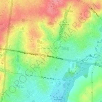
Name: Vermont South topographic map, elevation, terrain.
Average elevation: 100 m
Minimum elevation: 60 m
Maximum elevation: 146 m
Other topographic maps
Click on a map to view its topography, its elevation and its terrain.





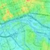
Gilbertsons Grassland Nature Conservation Reserve
Australia > Victoria > Melbourne
Average elevation: 36 m


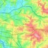
Mount Dandenong
Australia > Victoria > Melbourne
Mount Dandenong has a cool oceanic climate (Cfb), with cool to mild summers and cold, damp winters. Daytime temperatures are usually 4−6 °C cooler than downtown Melbourne due to its elevation and distance from the urban heat island effect of Melbourne. It is significantly cloudier than Melbourne,…
Average elevation: 395 m

















Langwarrin Flora and Fauna Reserve
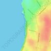
Australia > Victoria > Melbourne > Langwarrin
Average elevation: 90 m




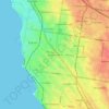
Narre Warren North Retarding Basin (Melbourne Water)
Australia > Victoria > Melbourne
Average elevation: 76 m