Geolocate

Berkenwoude topographic map

Click on the map to display elevation.

About this map

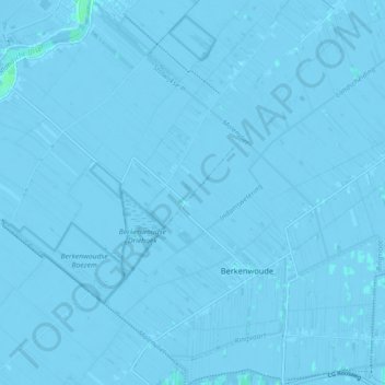
Name: Berkenwoude topographic map, elevation, terrain.

Location: Berkenwoude, Krimpenerwaard, South Holland, Netherlands (51.92888 4.67506 51.98414 4.72096)

Average elevation: -1 m

Minimum elevation: -4 m

Maximum elevation: 4 m

Other topographic maps

Click on a map to view its topography, its elevation and its terrain.

Botlek

Netherlands > South Holland

Average elevation: 3 m

Meije

Netherlands > South Holland > Nieuwkoop

Average elevation: -2 m

Langeraar

Netherlands > South Holland

Average elevation: -3 m

Weerestein

Netherlands > South Holland > Hillegom

Average elevation: 0 m

Broekhuizen

Netherlands > South Holland > Gouda

Average elevation: -1 m

Ankerpark

Netherlands > South Holland > Leiden

Average elevation: 3 m

Middelsluis

Netherlands > South Holland > Numansdorp

Average elevation: 0 m

Weerestein

Netherlands > South Holland > Hillegom

Average elevation: 0 m

Meijendel

Netherlands > South Holland > Wassenaar

Average elevation: 6 m

Coepelduynen

Netherlands > South Holland > Katwijk

Average elevation: 4 m

Het Park

Netherlands > South Holland > Rotterdam

Average elevation: 4 m

Waalhaven

Netherlands > South Holland > Rotterdam

Average elevation: 3 m

Gear up for your next adventure:

🚑Survival Whistle - Signal for help across long distances in mountains
🗺️Topographic Maps - Detailed maps to explore trails, mountains, and wilderness areas
💧Filtered Water Bottle - Safe drinking water on the go
🥾Waterproof Hiking Boots - Boots keeping your feet dry in wet conditions
🕶️Polarized Sunglasses - Reduces glare from snow and water at high elevations

As an Amazon Associate, this site earns from qualifying purchases at no extra cost to you.