
Zeist topographic map
Interactive map
Click on the map to display elevation.
About this map
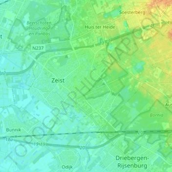
Name: Zeist topographic map, elevation, terrain.
Location: Zeist, Utrecht, Nederland (52.05849 5.19275 52.11454 5.32246)
Average elevation: 8 m
Minimum elevation: 0 m
Maximum elevation: 29 m
Other topographic maps
Click on a map to view its topography, its elevation and its terrain.
Bosch en Duin
Bosch en Duin, Zeist, Utrecht, Nederland
Average elevation: 9 m