
Bosch en Duin topographic map
Interactive map
Click on the map to display elevation.
About this map
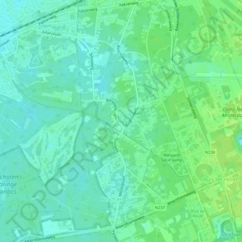
Name: Bosch en Duin topographic map, elevation, terrain.
Location: Bosch en Duin, Zeist, Utrecht, Nederland (52.10601 5.21822 52.13702 5.25225)
Average elevation: 9 m
Minimum elevation: 3 m
Maximum elevation: 15 m
Other topographic maps
Click on a map to view its topography, its elevation and its terrain.