Geolocate

Lisets topographic map

Click on the map to display elevation.

About this map

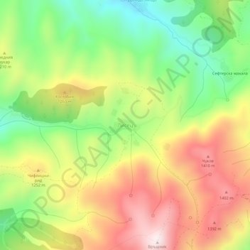
Name: Lisets topographic map, elevation, terrain.

Location: Lisets, Kyustendil, Bulgaria (42.28895 22.54338 42.32895 22.58338)

Average elevation: 1,169 m

Minimum elevation: 877 m

Maximum elevation: 1,491 m

Gear up for your next adventure:

🧥Ultralight Puffy Jacket - Maximum warmth that packs down to the size of an orange
🛌Insulated Sleeping Pad - Critical thermal barrier between you and the cold ground
🦌Outdoor Trail Camera - Monitor wildlife activity near your favorite spots
🧊Portable Cooler - Keep food and drinks cold during outdoor adventures
💧Collapsible Water Bottle - Space-saving water bottle for outdoor activities

As an Amazon Associate, this site earns from qualifying purchases at no extra cost to you.