Geolocate

Hull topographic map

Click on the map to display elevation.

About this map

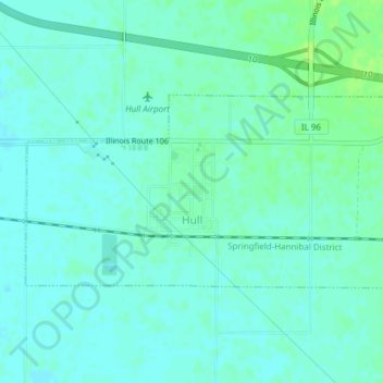
Name: Hull topographic map, elevation, terrain.

Location: Hull, Pike County, Illinois, 62343, United States (39.70177 -91.22339 39.71657 -91.18533)

Average elevation: 142 m

Minimum elevation: 138 m

Maximum elevation: 150 m

Other topographic maps

Click on a map to view its topography, its elevation and its terrain.

Atlas

United States > Illinois > Pike County

Average elevation: 165 m

Shinn

United States > Illinois > Pike County

Average elevation: 143 m

Gear up for your next adventure:

🥾Durable Hiking Shoes - Long-lasting shoes for frequent hiking
🧦Hiking Socks - Moisture-wicking and comfortable socks for long hikes
💡Compact LED Flashlight - Powerful and portable flashlight for outdoor use
🧢Hiking Sun Hat - Wide-brimmed protection for exposed mountain ridges
🧢Beanie Hat - Keep your head warm in cold weather

As an Amazon Associate, this site earns from qualifying purchases at no extra cost to you.