
DLSU Amphitheater topographic map
Click on the map to display elevation.
About this map
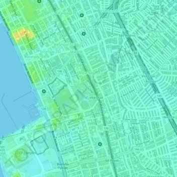
Name: DLSU Amphitheater topographic map, elevation, terrain.
Average elevation: 7 m
Minimum elevation: -1 m
Maximum elevation: 27 m
Other topographic maps
Click on a map to view its topography, its elevation and its terrain.
Manila
Almost all of Manila sits on top of centuries of prehistoric alluvial deposits built by the waters of the Pasig River and on some land reclaimed from Manila Bay. Manila's land has been altered substantially by human intervention, with considerable land reclamation along the waterfronts since the American…
Average elevation: 6 m
Santa Mesa
The topography of the area is relatively flat as some of the natural variations in elevations have been evened out due to urbanization.
Average elevation: 9 m
Santa Mesa
The topography of the area is relatively flat as some of the natural variations in elevations have been evened out due to urbanization.
Average elevation: 9 m