Geolocate

Crowhurst topographic map

Click on the map to display elevation.

About this map
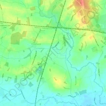
Name: Crowhurst topographic map, elevation, terrain.

Location: Crowhurst, Tandridge, Surrey, England, United Kingdom (51.18682 -0.03155 51.22272 0.02864)

Average elevation: 62 m

Minimum elevation: 42 m

Maximum elevation: 97 m

Gear up for your next adventure:

🥾Hiking Gaiters - Protect legs and shoes from mud, snow, and debris
🥾Approach Shoes - Shoes designed for climbing approaches and rugged trails
💡Solar Camping Lamp - Eco-friendly lighting for campsites
🗺️Topographic Maps - Detailed maps to explore trails, mountains, and wilderness areas
💧Reusable Water Bottle - Durable water bottles for hydration on trails

As an Amazon Associate, this site earns from qualifying purchases at no extra cost to you.