
Kudumi topographic map
Interactive map
Click on the map to display elevation.
About this map
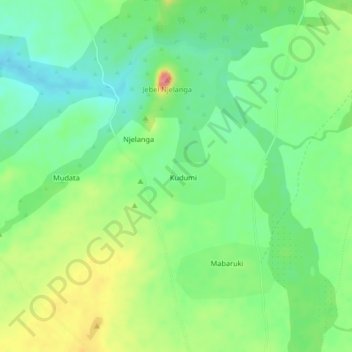
Name: Kudumi topographic map, elevation, terrain.
Location: Kudumi, Darfour-Occidental, Soudan (13.14531 22.16013 13.18531 22.20013)
Average elevation: 764 m
Minimum elevation: 732 m
Maximum elevation: 818 m
Other topographic maps
Click on a map to view its topography, its elevation and its terrain.