
Dogum topographic map
Interactive map
Click on the map to display elevation.
About this map
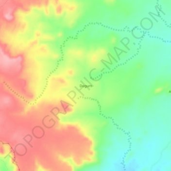
Name: Dogum topographic map, elevation, terrain.
Location: Dogum, Darfour-Occidental, Soudan (13.18000 22.59667 13.22000 22.63667)
Average elevation: 948 m
Minimum elevation: 890 m
Maximum elevation: 1,010 m
Other topographic maps
Click on a map to view its topography, its elevation and its terrain.