
El Trebal topographic map
Click on the map to display elevation.
About this map
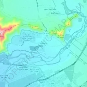
Name: El Trebal topographic map, elevation, terrain.
Average elevation: 446 m
Minimum elevation: 409 m
Maximum elevation: 693 m
Other topographic maps
Click on a map to view its topography, its elevation and its terrain.
Padre Hurtado
Chile > Región Metropolitana de Santiago > Provincia de Talagante
Average elevation: 473 m
Isla de Maipo
Chile > Región Metropolitana de Santiago > Provincia de Talagante
Average elevation: 449 m
Humedal Urbano Río Maipo de Isla de Maipo
Chile > Región Metropolitana de Santiago > Provincia de Talagante > El Monte
Average elevation: 416 m
Isla de Maipo
Chile > Región Metropolitana de Santiago > Provincia de Talagante
Average elevation: 449 m
Isla de Maipo
Chile > Región Metropolitana de Santiago > Provincia de Talagante
Average elevation: 449 m