Geolocate

Deep Lake topographic map

Click on the map to display elevation.

About this map

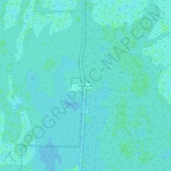
Name: Deep Lake topographic map, elevation, terrain.

Location: Deep Lake, Collier County, Florida, United States (26.02259 -81.36397 26.06259 -81.32397)

Average elevation: 5 m

Minimum elevation: 3 m

Maximum elevation: 7 m

Other topographic maps

Click on a map to view its topography, its elevation and its terrain.

Pine Ridge

United States > Florida > Collier County

Average elevation: 7 m

Orangetree

United States > Florida > Collier County

Average elevation: 6 m

Gear up for your next adventure:

🐕Hiking Dog Pack - Let your canine companion carry their own water and food
🛰️Satellite Messenger - Emergency communication for areas with no cell service
👟Leg Gaiters - Keep debris, mud, and snow out of your boots
🧊Portable Cooler - Keep food and drinks cold during outdoor adventures
🧥Thermal Layer - Insulating layer for cold outdoor conditions

As an Amazon Associate, this site earns from qualifying purchases at no extra cost to you.