Geolocate

Naples Park topographic map

Click on the map to display elevation.

About this map

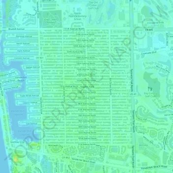
Name: Naples Park topographic map, elevation, terrain.

Location: Naples Park, Collier County, Florida, United States (26.25427 -81.81787 26.27239 -81.80128)

Average elevation: 6 m

Minimum elevation: 0 m

Maximum elevation: 15 m

Gear up for your next adventure:

🧭Orienteering Kit - Tools for map reading and navigation in the wild
🛶Kayak Dry Bag - Waterproof storage for kayaking adventures
🥾Mountaineering Boots - Supportive boots for climbing and high-altitude hiking
🛶Canoe Life Vest - Safety vest for water sports
🛰️Satellite Messenger - Emergency communication for areas with no cell service

As an Amazon Associate, this site earns from qualifying purchases at no extra cost to you.