Geolocate

Bodskatan topographic map

Click on the map to display elevation.

About this map

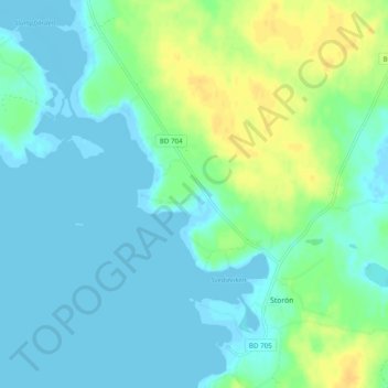
Name: Bodskatan topographic map, elevation, terrain.

Location: Bodskatan, Storön, Kalix kommun, Norrbotten County, Sweden (65.72671 23.05508 65.76671 23.09508)

Average elevation: 7 m

Minimum elevation: -2 m

Maximum elevation: 24 m

Gear up for your next adventure:

🧭GPS Outdoor Watch - Smart watch for navigation and fitness tracking in nature
🧴Outdoor Sunscreen - High SPF protection for high-altitude UV exposure
💡Portable Camping Lamp - Rechargeable lamp for campsite lighting
🥽Outdoor Goggles - Protective eyewear for outdoor activities
🥾Approach Boots - Comfortable boots for hiking and climbing approaches

As an Amazon Associate, this site earns from qualifying purchases at no extra cost to you.