Geolocate

Old Tavern topographic map

Click on the map to display elevation.

About this map

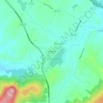
Name: Old Tavern topographic map, elevation, terrain.

Location: Old Tavern, Fauquier County, Virginia, United States (38.81150 -77.83194 38.85150 -77.79194)

Average elevation: 195 m

Minimum elevation: 151 m

Maximum elevation: 337 m

Other topographic maps

Click on a map to view its topography, its elevation and its terrain.

Bealeton

United States > Virginia > Fauquier County > Bealeton

Average elevation: 100 m

Marshall

United States > Virginia > Fauquier County

Average elevation: 189 m

New Baltimore

United States > Virginia > Fauquier County

Average elevation: 148 m

Rectortown

United States > Virginia > Fauquier County

Average elevation: 161 m

Upperville

United States > Virginia > Fauquier County

Average elevation: 172 m

Broad Run

United States > Virginia > Fauquier County > Broad Run

Average elevation: 164 m

Gear up for your next adventure:

🦶Anti-Blister Balm - Prevents friction and hotspots during long ascents
🛶Canoe Life Vest - Safety vest for water sports
🧴Bear Spray Holster - Quick-access carry for essential Canadian wilderness safety
🧭GPS Handheld Device - Reliable GPS navigation for outdoor adventures
🔋Lithium AA Batteries - Long-lasting power that performs in extreme cold

As an Amazon Associate, this site earns from qualifying purchases at no extra cost to you.