Geolocate

Broad Run topographic map

Click on the map to display elevation.

About this map

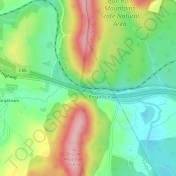
Name: Broad Run topographic map, elevation, terrain.

Location: Broad Run, Fauquier County, Virginia, 20137, United States (38.82407 -77.72004 38.82607 -77.71058)

Average elevation: 164 m

Minimum elevation: 98 m

Maximum elevation: 264 m

Gear up for your next adventure:

🧰Emergency Multi-Tool - Compact multi-tool for outdoor survival
🧢Outdoor Visor - Breathable visor for sunny hikes
💡Compact LED Flashlight - Powerful and portable flashlight for outdoor use
🥾Waterproof Hiking Shoes - Durable shoes for wet and rugged trails
🍽️Titanium Camping Spork - Ultralight and indestructible eating utensil

As an Amazon Associate, this site earns from qualifying purchases at no extra cost to you.