
Lockne topographic map
Click on the map to display elevation.
About this map
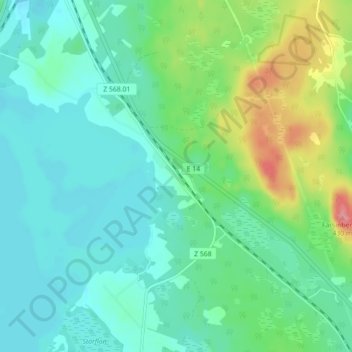
Name: Lockne topographic map, elevation, terrain.
Location: Lockne, Östersunds kommun, Jämtland County, Sweden (63.01884 14.85654 63.05884 14.89654)
Average elevation: 348 m
Minimum elevation: 324 m
Maximum elevation: 422 m
Other topographic maps
Click on a map to view its topography, its elevation and its terrain.