Geolocate

Rock Spring topographic map

Click on the map to display elevation.

About this map

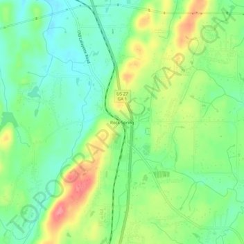
Name: Rock Spring topographic map, elevation, terrain.

Location: Rock Spring, Walker County, Georgia, 30739, United States (34.80424 -85.26273 34.84424 -85.22273)

Average elevation: 260 m

Minimum elevation: 224 m

Maximum elevation: 317 m

Other topographic maps

Click on a map to view its topography, its elevation and its terrain.

Rock Spring

United States > Georgia > Walker County

Average elevation: 263 m

Lookout Mountain

United States > Georgia > Walker County

Average elevation: 406 m

Fairview

United States > Georgia > Walker County

Average elevation: 263 m

Missionary Ridge

United States > Georgia > Walker County

Average elevation: 337 m

Gear up for your next adventure:

🧥Waterproof Jacket - Lightweight rain jackets for hiking and outdoor activities
🔭Compact Binoculars - Lightweight optics for scouting trails and wildlife
🔪Outdoor Multitool - Versatile tool for repairs and food prep in the wild
🥾Hiking Shorts - Breathable shorts suitable for summer hikes
🧭Orienteering Kit - Tools for map reading and navigation in the wild

As an Amazon Associate, this site earns from qualifying purchases at no extra cost to you.