
Vernier topographic map
Click on the map to display elevation.
About this map
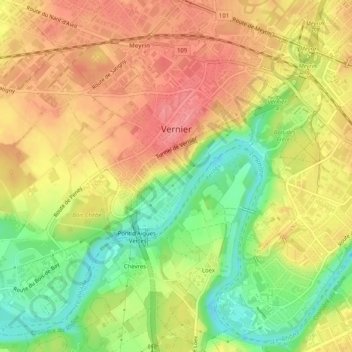
Name: Vernier topographic map, elevation, terrain.
Location: Vernier, Geneva, Switzerland (46.19216 6.06882 46.22492 6.11924)
Average elevation: 412 m
Minimum elevation: 364 m
Maximum elevation: 449 m
Other topographic maps
Click on a map to view its topography, its elevation and its terrain.
Le Grand-Saconnex
Switzerland > Geneva > Le Grand-Saconnex > Le Grand-Saconnex
Average elevation: 414 m