Geolocate

Pressy topographic map

Click on the map to display elevation.

About this map

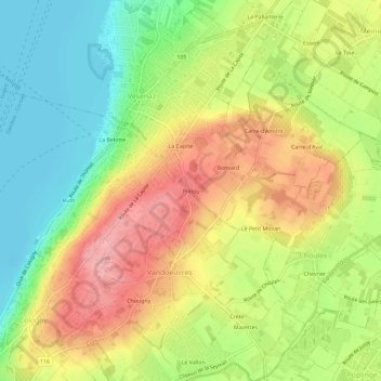
Name: Pressy topographic map, elevation, terrain.

Location: Pressy, Vandœuvres, Geneva, 1253, Switzerland (46.20992 6.18571 46.24992 6.22571)

Average elevation: 430 m

Minimum elevation: 369 m

Maximum elevation: 496 m

Gear up for your next adventure:

🥾Waterproof Hiking Shoes - Durable shoes for wet and rugged trails
🥾Lightweight Hiking Boots - Boots for comfort and mobility on long hikes
🧥Ultralight Puffy Jacket - Maximum warmth that packs down to the size of an orange
🥾Hiking Shorts - Breathable shorts suitable for summer hikes
🔭Compact Monocular - One-handed bird watching and trail spotting

As an Amazon Associate, this site earns from qualifying purchases at no extra cost to you.